Now Launching — Whitebox Next Gen

Whitebox Workflows

Whitebox Workflows Next Gen is a milestone release — advances in raster, vector, and LiDAR support. Start free with 700+ tools for Python, R, and QGIS. Upgrade to Pro bundles for governance-grade reproducibility and defensible delivery.

Whitebox: One Platform, Three Access Surfaces

Open for capability breadth. Start free with Whitebox for QGIS, Python, or R to access 700+ tools with transparent, local-first execution. Pro for decision confidence. Add Pro Bundles in Whitebox Workflows Pro — accessible from QGIS, Python, and R — governance outputs, and stakeholder-ready reporting. All built on the same Rust-backed platform.

Whitebox for Python

Open Tier · Python Interface

The foundation of Whitebox. Access 700+ geospatial tools for scripts, notebooks, and production automation. Transparent, local-first, no lock-in.

Learn more →

Whitebox for R

Open Tier · R Interface

The same platform, accessed through R. Built for quantitative analysis, modelling, and research workflows. Same core engine, familiar analytical interface.

Learn more →

Whitebox for QGIS

Open Tier · Free · Recommended Start

The recommended starting point for most users. Free, open-core plugin brings 700+ tools to QGIS with no scripting required. The default desktop interface for analysts who work in QGIS every day.

Learn more →

Whitebox Workflows Pro

Pro Tier · Licensed

Move high-impact decisions into structured, confidence-aware workflow bundles. All three interfaces — Python, R, and QGIS — included. Governance outputs, stakeholder-ready reports, and compliance-grade diagnostics.

Learn more →

Whitebox Next Gen: A Complete Platform Rewrite

Not an incremental version update. Whitebox Next Gen replaces the old monolith with a modular backend library system, built entirely in pure Rust, with all core backend engine libraries fully open-source.

Modular Backend Architecture

Core capabilities are now implemented as specialized open-source libraries: wbgeotiff, wbraster, wbvector, wblidar, wbprojection, and wbtopology. Cleaner separation of concerns and faster long-term evolution of platform capabilities.

Pure Rust, Open Source Core

All core backend engine libraries are fully open-source and built in pure Rust — no external GIS dependency coupling. Maximum performance, memory safety, and cross-platform consistency.

Format and Projection Depth

Major advances in raster, vector, and LiDAR format support — GeoPackage, FlatGeobuf, GeoParquet, Cloud-Optimized GeoTIFF, COPC, E57 — plus native projection and reprojection workflows across all data types.

Vector Analysis Leap

wbtopology introduces major new vector analysis depth: network analysis, route-event workflows, and linear referencing — capabilities that were not possible in the previous architecture.

What Teams Build with Whitebox — Free

The open-core tool library covers the full geospatial stack. These are everyday workflows that thousands of analysts run at no cost, with no scripting requirement when using QGIS.

Terrain Analysis

DEM Processing and Derivatives

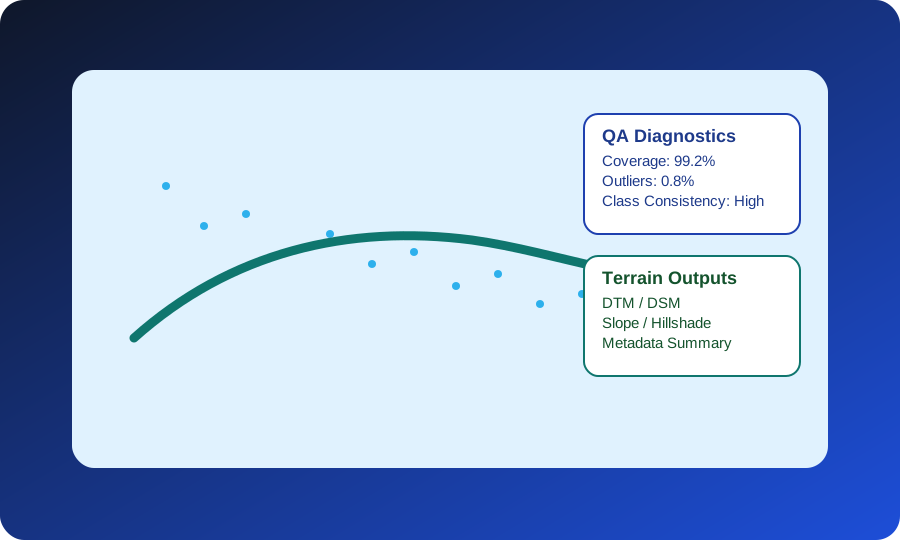
Slope, aspect, curvature, hillshade, and advanced terrain indices from any DEM. Whitebox includes terrain-visibility tools unavailable in most GIS stacks — horizon area, time in daylight, and average horizon distance.

700+ tools · Free · Local execution
Start free with QGIS →
Hydrology

Watershed Delineation and Flow Routing

Fill sinks, generate flow direction and accumulation grids, delineate watersheds, and extract stream networks. One of the largest collections of open hydrological tools in any GIS platform.

Python · R · QGIS
Start with Python or R →

LiDAR Processing

Point Cloud Classification and Products

Normalize, classify, and derive terrain and canopy products from LAS/LAZ point clouds. Whitebox handles large tiled datasets efficiently without requiring specialist software.

Free · No specialist license needed
Start free with QGIS →

Remote Sensing

Image Analysis and Change Detection

Image filtering, texture analysis, PCA, vegetation indices, and two-date change detection. Works with any raster data — Landsat, Sentinel, drone imagery, or custom inputs.

Python · R · QGIS
Start with Python or R →

Vector GIS

Spatial Analysis and Geometry Operations

Buffer, dissolve, clip, spatial join, near analysis, simplify features, and more. Full vector analysis toolkit alongside raster tools — no separate extension required.

Free · Open source
Start free with QGIS →

When You Need More

Governance-Ready Delivery with Pro Bundles

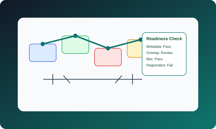
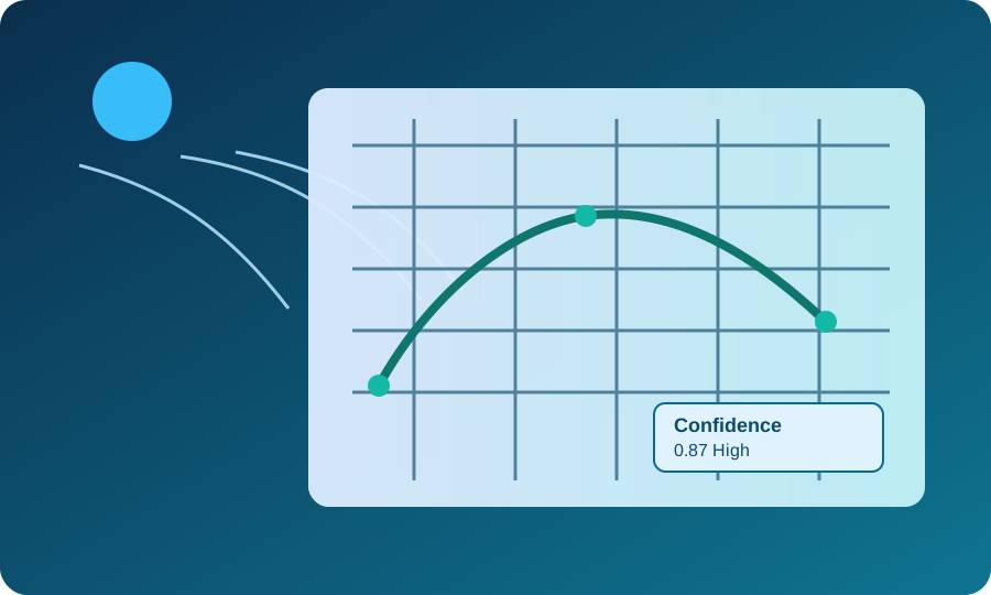
When your work demands reproducible contracts, confidence diagnostics, and stakeholder-ready reporting, the same QGIS, Python, or R environment scales to Pro bundles — no platform change required.

Pro · Licensed by bundle
Browse Pro bundles →

Built for Real Geospatial Work

See how the six Pro bundles map to recurring delivery problems and decision-ready outputs.

Interoperable by Design

Whitebox Workflows is built to plug into the formats, platforms, and deployment environments geospatial teams already use.

Formats

GeoTIFF, Cloud-Optimized GeoTIFF, LAS / LAZ, COPC, GeoPackage, FlatGeobuf, GeoParquet, GeoJSON, Shapefile, and CSV-friendly workflows.

Platforms

QGIS, Python notebooks, R workflows, scripts, and local desktop processing on Windows, macOS, and Linux.

Operational Fit

Batch-friendly, reproducible, and suitable for on-prem or offline environments where data control matters.

Performance by Design

Powerful tooling and practical licensing for teams that need reliable geospatial throughput.

700+
Geospatial Tools

Complete toolkit for analysis, remote sensing, and hydrology

Free
Free Products

Whitebox for Python and Whitebox for R are both available at no cost

Parallel Computing

Lightning-fast processing with modern hardware

3
Platforms

Windows, macOS, and Linux support

Find the Right Access Level

Use this table to decide whether Whitebox for Python, Whitebox for R, Whitebox for QGIS, or Whitebox Workflows Pro is the right fit for your work.

Clear fit by workflow maturity Transparent pricing and licensing Clear path from free tools to Pro
Access-level comparison for prospective buyers
Product Best Fit Starts At License Core Value Typical Outcome Recommended Next Step
Whitebox for PythonFree GIS analysts, automation engineers, and notebook users working in Python Free Free and open Hundreds of tools for terrain, hydrology, raster/vector, and LiDAR in a Python-first workflow Get a full analysis baseline running with zero licensing friction in Python. Get Started
Whitebox for RFree Research, analytics, and modelling teams working in R Free Free and open Hundreds of tools for terrain, hydrology, raster/vector, and LiDAR in an R-first workflow Adopt the same core toolset with zero licensing friction in R. Get Started
Whitebox for QGISFree Desktop GIS analysts, government teams, and consultants who need point-and-click access to 700+ tools inside QGIS without scripting Free Free and open 700+ tools for terrain, hydrology, LiDAR, remote sensing, and vector analysis — accessible directly inside QGIS with no scripting The recommended starting point. Start immediately inside your existing QGIS environment — no license required. Get Started
Whitebox Workflows ProBundle Licensed Tier Organizations that need standardized, confidence-aware workflows and governance-ready deliverables From $690 Annual per-user (bundle-based) Six commercial bundles and 41 decision-grade workflows across Python, R, and QGIS desktop — all included Buy by bundle, deploy by workflow, and deliver with reproducible QA and stakeholder-ready reporting. Explore Pro Bundles

Need help choosing? See pricing or talk with our team for a recommendation based on your data volume and delivery timelines.

News & Updates

Stay up to date with the latest from Whitebox Geospatial

February 2026 Tutorial

Batch LiDAR Processing with Whitebox Workflows Pro

Learn how to automate large-scale LiDAR processing workflows using Whitebox Workflows Pro in Python.

Read more →
November 2025 Release

Whitebox Workflows 2.4: Expanded Hydrology & Remote Sensing Tools

Twenty new tools added to the free Whitebox toolsets, including expanded watershed analysis and multispectral vegetation indices.

Read more →

Ready to Get Started?

Start with Whitebox for Python or Whitebox for R, then add Pro Bundles in Whitebox Workflows Pro when you need advanced proprietary workflows.

Contact Us

Tell us about your project goals and we will recommend the right Whitebox Workflows access level and licensing path.

Email: support@whiteboxgeo.com

Project Inquiry Form

All inquiries are routed to support@whiteboxgeo.com.