Whitebox for QGIS · Open Tier · Free & Open Source

The Recommended Way to Start With Whitebox — Free for Every User

700+ Tools · No Scripting Required · Runs Inside QGIS

Whitebox for QGIS is the free, open-core plugin that brings the full Whitebox tool library into your existing QGIS environment. It is the recommended starting point for most users — government analysts, environmental consultants, engineering teams, and researchers who already work in QGIS every day.

Start free with 700+ tools for terrain, hydrology, raster and vector analysis, LiDAR, and remote sensing — all accessible point-and-click, with no Python or R required. When your work demands governance-grade reproducibility and decision-ready delivery, the same QGIS interface scales to Whitebox Workflows Pro without any change to your environment.

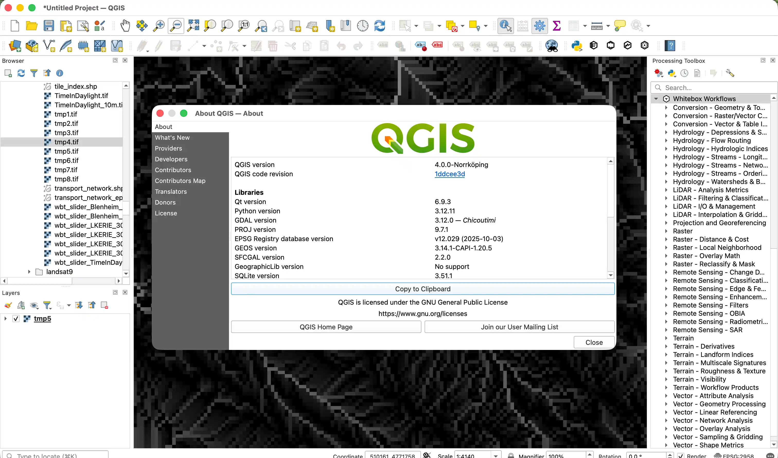
QGIS 4.0 Processing Toolbox showing Whitebox Workflows plugin with tool categories including Conversion, Hydrology, LiDAR, Raster, Remote Sensing, Terrain, and Vector
Whitebox for QGIS running in QGIS 4.0 — 700+ geospatial tools accessible directly from the Processing Toolbox, organized into familiar categories.

The Default Desktop Interface for Whitebox

For most organizations, the primary GIS environment is a desktop application — not a Python notebook or R session. Whitebox for QGIS meets analysts where they already work. No new platform to learn, no scripting requirement, no change to your existing desktop toolchain.

The plugin gives you immediate point-and-click access to the same 700+ tools available in the Python and R interfaces — the same Rust-backed engine, the same performance, the same local-first transparency. If you are new to Whitebox, this is the place to start.
700+ Tools Available
0 Lines of Code Needed
Free and Open Source
Pro Ready When You Scale

What You Get with the Free QGIS Plugin

Everything in Whitebox Open Core is accessible from QGIS — at no cost, with no license required, and no scripting.

700+ Tools, Point-and-Click

Access the complete Whitebox tool library — terrain analysis, hydrological modelling, LiDAR processing, raster and vector operations, remote sensing indices, and more — through QGIS dialogs without touching a command line.

Works Inside Your Existing QGIS

The plugin installs directly into your existing QGIS environment alongside all your other tools. No separate application, no cloud routing, no data sovereignty risk. Your data stays local and your existing projects are unaffected.

Same Engine as Python and R

Whitebox for QGIS runs the same Rust-backed core engine as the Python and R interfaces. Results are consistent across all three — no divergent outputs, no methodology differences, regardless of which interface you use.

Free and open source. Start immediately — no license key, no account required.

Why Most Users Start Here

01

No Scripting Required

Every tool is accessible through familiar QGIS form dialogs. Non-coders and coding-averse analysts get full access to the Whitebox tool library without writing any scripts.

02

Your Existing Workflow, Extended

If you already use QGIS for daily GIS work, the Whitebox plugin fits naturally alongside your existing layers, projects, and processing workflows. No learning curve for the environment itself.

03

Broad Tool Coverage

Terrain derivatives, watershed delineation, stream network extraction, LiDAR classification, change detection indices, vector geoprocessing, and more — all from the same plugin, at no cost.

04

Local, Transparent Execution

All processing runs locally on your hardware. Your data never leaves your environment. Reproducible results with full transparency — no black-box cloud services.

05

Cross-Platform

The QGIS plugin works on Windows, macOS, and Linux, matching QGIS's own platform support. Deploy it in any environment your team uses.

06

Scales to Pro When You Need It

When your work demands governance-grade workflows, reproducible delivery, and stakeholder reporting, upgrade to Whitebox Workflows Pro — the same QGIS interface gains access to 41 decision-grade workflows. No environment change required.

Who Uses Whitebox for QGIS

The QGIS plugin is the primary entry point for teams across government, consulting, utilities, and research — wherever desktop GIS is the standard analytical environment.

Government Agencies

Municipal and regional GIS teams that run QGIS as their standard desktop platform extend their tool library with the Whitebox plugin — no new infrastructure, no licensing overhead, no scripting requirement.

Environmental and Engineering Consultants

Consultants who already deliver GIS outputs in QGIS add Whitebox for access to terrain, hydrology, LiDAR, and remote sensing tools they cannot find elsewhere — directly in the project environment they use for client delivery.

Research and Academic Teams

Researchers who need specialized geospatial algorithms — particularly in terrain analysis, hydrological modelling, and point cloud processing — use the QGIS plugin for the tool depth it provides without requiring custom scripting.

Three Interfaces, One Platform

All three Whitebox interfaces are free at the open tier. Choose the one that fits your team — or use more than one. Upgrading to Pro adds 41 decision-grade workflow bundles to whichever interface you already use.

Whitebox interface comparison — open tier and Pro tier
Interface Best Fit Access Style Open Tier Pro Bundles Add
QGIS PluginRecommended Start Desktop GIS analysts, agency teams, and consultants working in QGIS who need no-code access to the full tool library No-code / desktop Free · 700+ tools 41 decision-grade workflow bundles with governance outputs and confidence diagnostics
Python API Data engineers and automation teams building reproducible scripts and pipelines Scripted / programmatic Free · 700+ tools 41 decision-grade workflow bundles with governance outputs and confidence diagnostics
R API Quantitative analysts and researchers working in statistical modelling environments Scripted / analytical Free · 700+ tools 41 decision-grade workflow bundles with governance outputs and confidence diagnostics

Pro bundles are available across all three interfaces. Upgrade from QGIS and your environment stays the same — only your workflow capabilities expand.

Get Started with Whitebox for QGIS

Install the free plugin and start using 700+ tools immediately. When you need reproducible, governance-grade delivery, Pro Bundles in Whitebox Workflows Pro are a direct upgrade from the same interface.